From Hwy 24 at Baldwin (where McDonalds is located on Hwy 24 in Woodland Park, CO): Take Baldwin, which is the road that runs diagonally behind the McDonalds. Baldwin turns into Rampart Range Road. From McDonalds you will go about 1.9 miles. Look for the large yellow garage doors as this building sits next to the parking lot where you will begin your hike. The other side of the parking area is a neat little farm house with some log out-buildings. Park here and walk through the gate.
This hike starts by going past some city buildings and skirts private homes and property for about the first ten minutes. After only a few minutes you will come to a "Y". Both trails will meet up in a loop at the top of the short hill so it doesn't matter which way you go however, going to the left is probably preferred as it stays further from the house on the right. The "Y" is pictured next.
It's easiest to just remember to stay on the wide and obvious trail.
After walking a total of about 15 minutes or slightly more, you will come to a creek just down a short slop to your left. Cross the creek and you will see a sign for the Lovell Gulch Loop. This is where the hike actually begins. You can go either way but this hike will be for going the counter clockwise direction. Hence, go right.
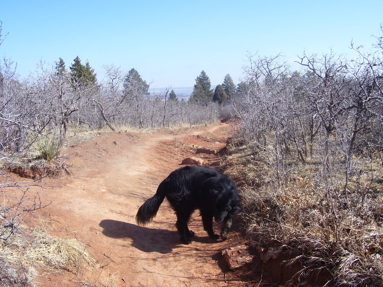
The first mile is rolling meadows like this and is a great place to catch some rays. You canine companion will like the creek that this trail follows.
After the rolling hills and meadows, the trail will go left. Remember, you are making a big loop so do NOT cross the creek again after you have started. The trail will always bend left but there are a couple of spots that would allow you to cross back over to the right. Don't
After bearing sharply left you will start a gradual ascent for about 3/4 mile.
I call this section the rocks and roots section as you see plenty of both.
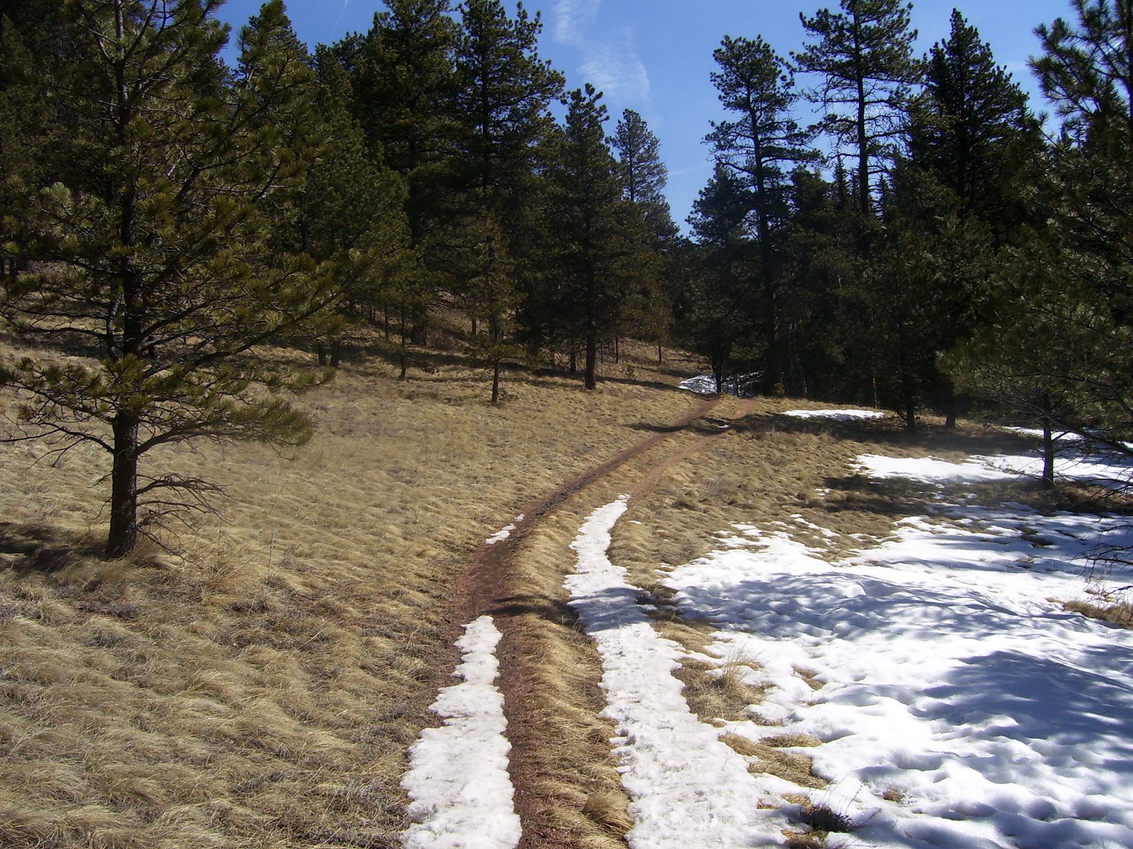
The roots are of course covered largely in snow during this hike in March, but you will still feel the rough and often steep trail climbing up and up until you come to a forest service road and a gate up to your left. (Pictured next)
The trail continues by walking just to the left of the gate.
Look down the power lines as far as you can see and this is where the trail goes for the next 3/4 miles. The trail will eventually go right, after pretending to go left a couple of times before coming back to the power lines. When the trail finally goes right, into the trees you will be leaving the power lines section behind.
You will wind through the woods for a spell and then climb up two very steep sections coming out into the sunshine at the top of a knoll with great views of Pike's Peak!
Now you will descend quickly. I prefer to take a nice little cut off to the right just about 50 yards down the hill. Look for it or if you prefer, continue on the main trail. You will keep dropping sharply and keep going until the trail levels out and bears to the left. (At this point you may notice that the trail also goes left 120 degrees, this is where you would come out if you took the extended loop which I will cover in another post).
You may notice the trail marker here. As you level out you can know that the trail will end back at the creek where you started and you only have about 1/2 miles to walk, not including the pre-trail hike back to the parking area.
Here is the creek. Hope you had a great hike. This is a super wildflower trail in the summer, so come on back!
Professional Canine Behavior Therapy and Training. Professional Hiking Guide and Consultant.
Tuesday, March 13, 2012
Monday, March 12, 2012
Lions Camp Trail or FS 717F Trail
From Woodland Park, CO go north 4 miles on Hwy 67. Take the left into a small parking area. This left is directly across the road from another parking area, and just before the picnic pull-off area a few yards ahead. You can park in the lot at the entrance and look for the trail about 100 yards or more in the field in front of you or, better yet, drive .4 mile (approx) to the next parking area on your left, further down the road. This is the lot in the picture.
Less than five minutes on the trail and you'll be at a beautiful little meadow next to a creek. Barney takes avantage of this spot to cool off, play or drink.
This is a great trail that winds along an beautiful and ever-changing creek. Your pet will have all the water he or she needs.
For the first miles you will be enveloped in the trail by the huge rock walla and steep hills on either side of the trail and creek.
Colorado is awesome. As one who spent 6 years in central Alaska and enjoyed numerous back country experiences, I feel I can offer such an opinion. I miss Alaska, but Colorado is my favorite place in the lower 48. And, unlike Alaska, it is easy to get to the trails and into the mountains.
Here is a great picnic area for a hot summer day. You'll actually run into it after 15 minutes on the trail so it may be a good spot to have a snack near the end of the hike; on the way back.
Here is a spot you'll remember after an hour or so into the hike. The trail skirts this awesome rock formation that hugs the trail. At one point you will come to the crossroads of several trails. Continue straight at this point and the trail you are on becomes Forest Service Trail 717F. Stay on 717F.
After an hour and a half, the trail will open up into several nice meadows.
At this point you will have been hiking about 1.5 -2 hours. On this hike we stoppend and turned around for the hike back. On another trek, we will go all the way to Divide, CO and make a giant all day loop back to Woodland Park.
Saturday, March 10, 2012
Intemann Trail to Crystal Lake Road

It is true to say that starting at the parking area, you are on both the Intemann Trail and the Section 16 Trail. However, Section 16 is also Palmer Red Rock Trail and you'll see a trail marker identifying this fact about 3/4 mile into your hike. At this point you will see the Palmer Red Rock Trail sign that is what you would take to do the Section 16 Loop that is so common.
You aill see the Intemann Trail to your right. Go this direction. The beginning of this hike, especially in colder months affords distant and big views as it is mainly scrub brush that one can see though and over. A great way to start a cool morning as it gets good sun. Beautiful rock formations are to be had. You now have about 45 minutes to the end of the trail and then of course, the return walk.
The trail winds through the trees and back and forth into the AM sunshine as it also wraps around the mountains. Views of Garden of the Gods, Colorado Springs and the Red Rocks Canyon Recreation Area are plentiful.
The trail is well defined but, always be aware of where it goes as sometimes you may inadvertantly wind up in a spot where you wonder "which way should I go" If so, back up and make sure you followed the main path. It would be hard to actually get lost on this trail but if you don't pay attention you could find yourself working hard to get back to the trail and ultimately your destination.
In the final 10 minutes of your hike you will see a campground and more and more homes. At the trails end; Crystal Park Road, you will see a collection of million dollar homes in the private gated community of Crystal Park. In August of this year and easement will allow you to continue hiking accross this area and onto the rest of the Paul Intemann Trail all the way to Manitou Springs.
This foot bridge is just feet from the road in the following photo. Time for Barney here to lay n the water and get a drink.
Friday, March 9, 2012
Section 16. Palmer Red Rock Trail. Bear Creek Area.
Take Hwy 24 to 26th Street. Go West until the road basically ends. (Roughly 3 miles). You cannot go forward because you'll come to a gate and a forest service road. (This is where you will exit the trail at the end of your hike). However, you can go left or make a 180 degree right turn onto Gold Camp Road. Make the sharp right and go to the parking area on your left about 1/4 mile up the street. Here you will see the beginning of the loop trail.
The beginning of this hike includes what I refer to as scrub brush. Of course, in the warmer months it will be quite green. But, during the cold months it is dead and allows for better viewing to the east. The trail is wide and nice to walk. Be ready though, the trail will soon change as you begin ascending into the beautiful green forest.
As you get closer to the point where the trail ascends sharply you'll see beautiful red rock formations as well as the common Red Rocks Open Space Recreation Area not far to the east of the trail. In fact, there is an off shoot of this trail that will take you there. You may see a sign to this as well as a couple other trails and off shoots. Look for upcoming blog posts that focus on this other Section 16 and Bear Creek options.
The trail will ascend and you'll wonder if it ever stops going up, and up and...up. Without any stops, it will take about 45 minutes to reach the summit area where things will level out for awhile before starting a more gradual descent. The trail is easy to follow. Remember, you are doing a big loop, so small trails that take you to the right should be avioded and there are numerous signs that mark the trail you are on, which is; Palmer Red Rock Trail, or loop. This trail is part of the area in Bear Creek that is known as Section 16.
As you trek through the forest you'll be rewarded with views far away from the ones of the city. Although this is not the trail for expansive views of the Continental Divide or even Pike's Peak, it offers beautiful local views of forested peaks and valley's that offer a soul nourishing experience.
More views that even my canine companion seems to appreciate.
Tails on the Trails. Always keep your dog on a leash unless he or she is responsive to your voice and has displayed time and time again that he/she has NO tendancy towards aggression.
Near the end, the trail will turn pretty sharp to the left. While the trail to the right is pretty wide and noticable, it should be avoided. Continue to where the trail turns onto the forest service road in the next picture. Right before you get to the road the trail will "Y". Either will take you to the road in a few yards but, going to the left is preferred.
Hike on down this road until you come out at the gate where you were before you took that sharp right onto Gold Camp Road to get to the parking area. You're finished and it was a Great Day.
Allow about 2.5 hours for this hike. I have done it without running in 1:45 minutes and have casually enjoyed it, making numerous stops, in about 3 hours.
Subscribe to:
Posts (Atom)